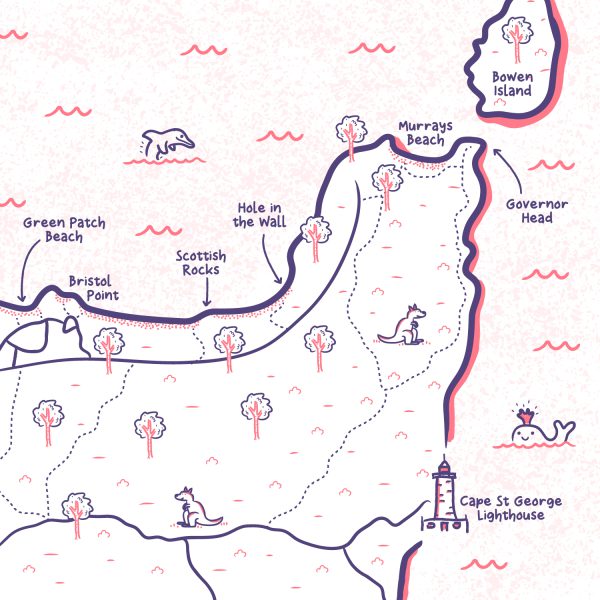
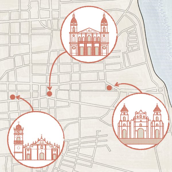
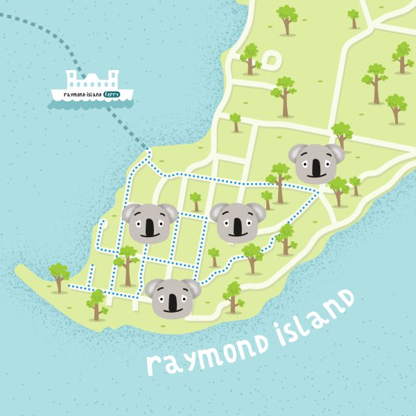
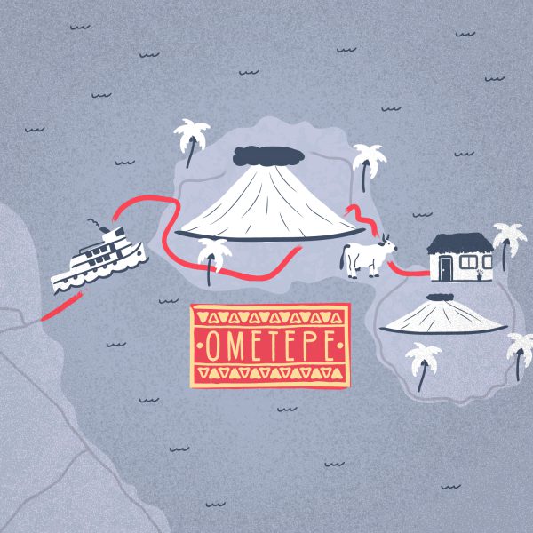
Illustrated maps by Greg Franco - Le Cartographiste
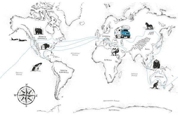
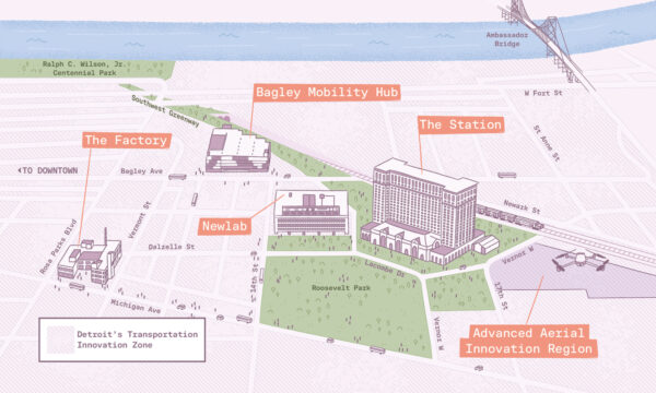
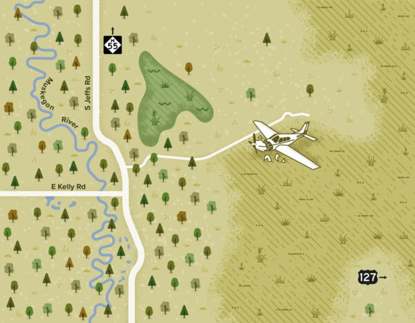
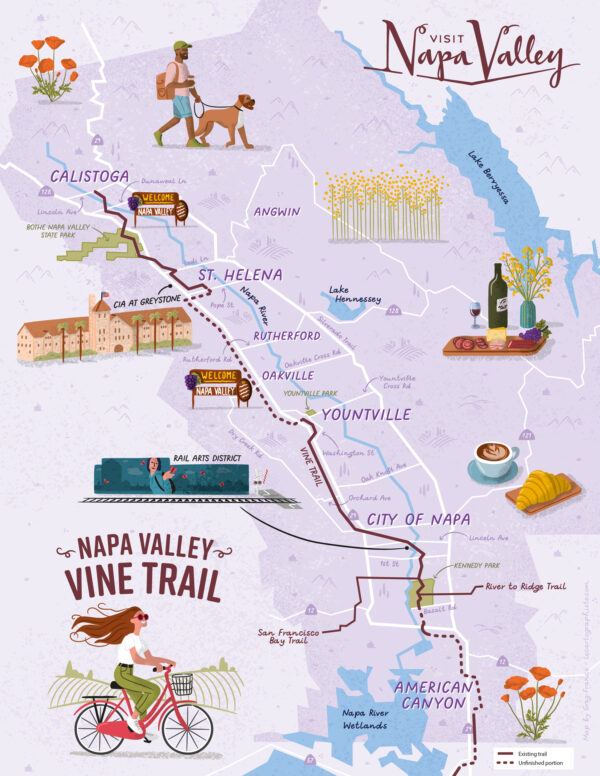
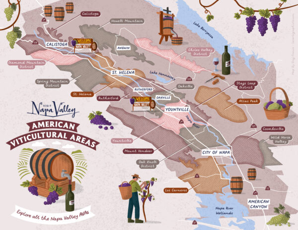
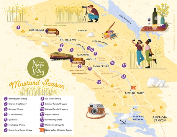
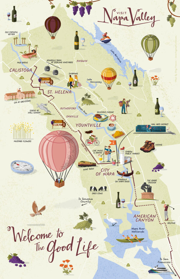
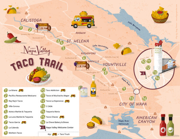
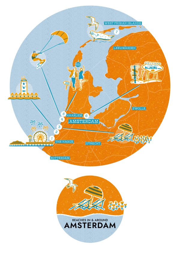
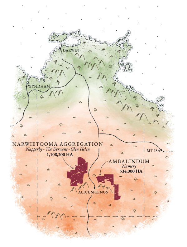
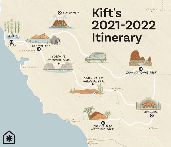
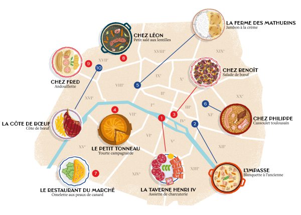
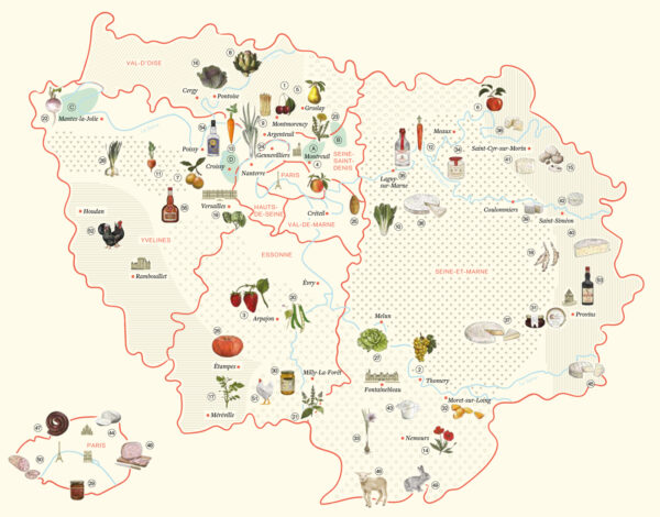
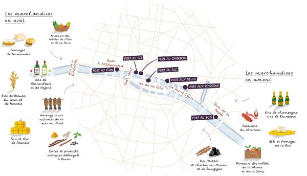
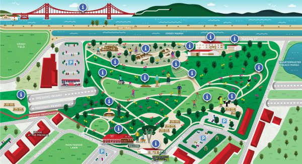
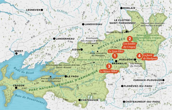
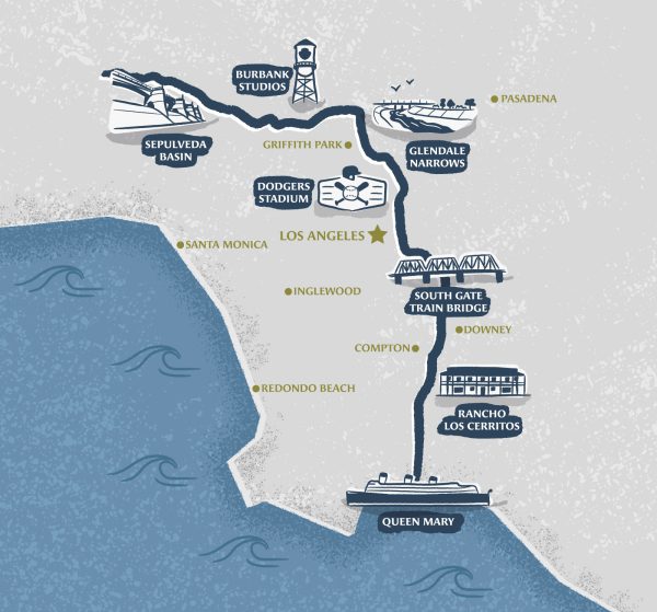
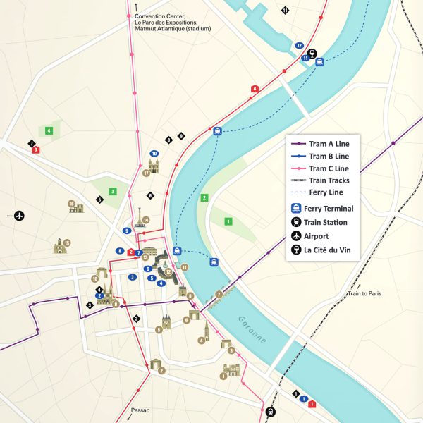
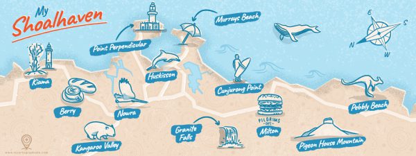
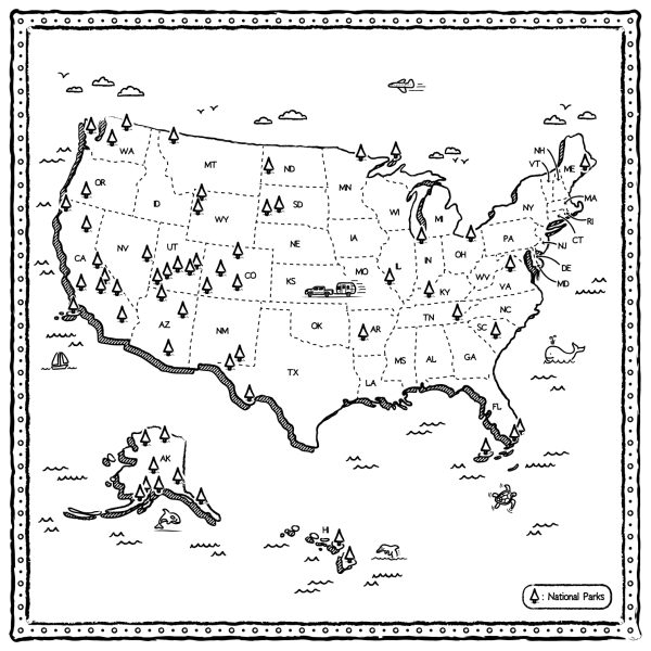
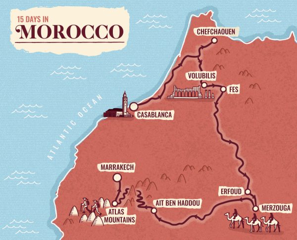
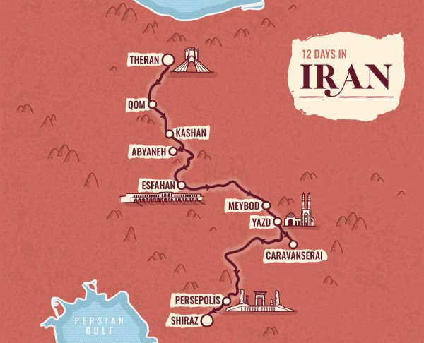
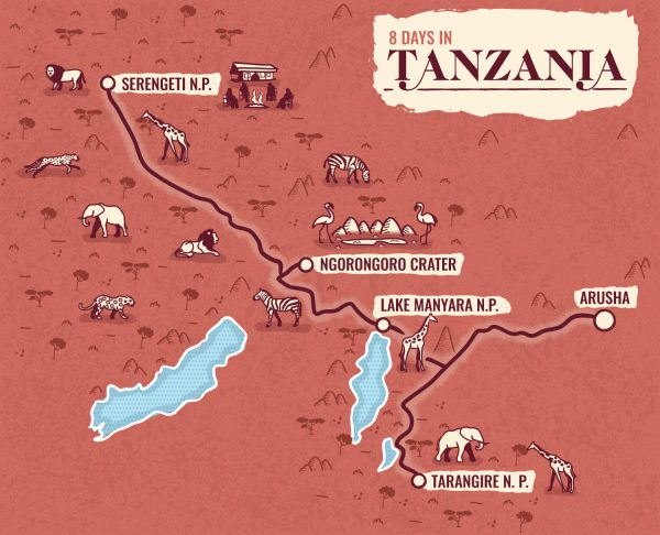
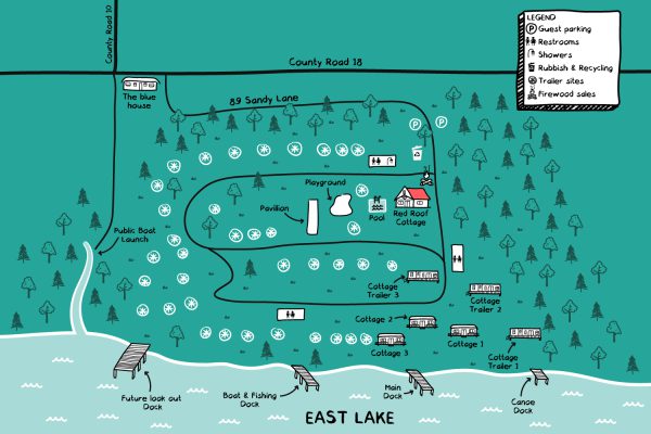
I create all kinds of illustrated maps for printed publications, websites, posters and more: editorial maps for magazines or books, city and neighborhood maps for visitor guides, county, state and country maps for promotional purposes, site plans for resorts or hotels, illustrated itineraries for travel agencies.
All
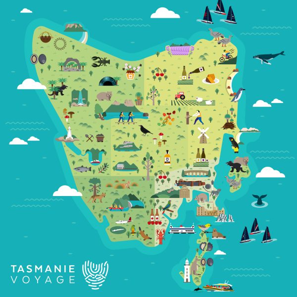
Area map
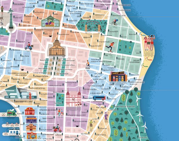
City map
Editorial map
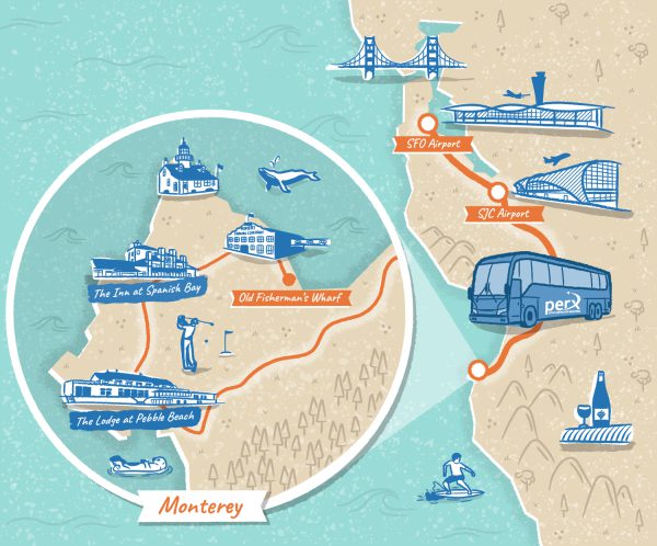
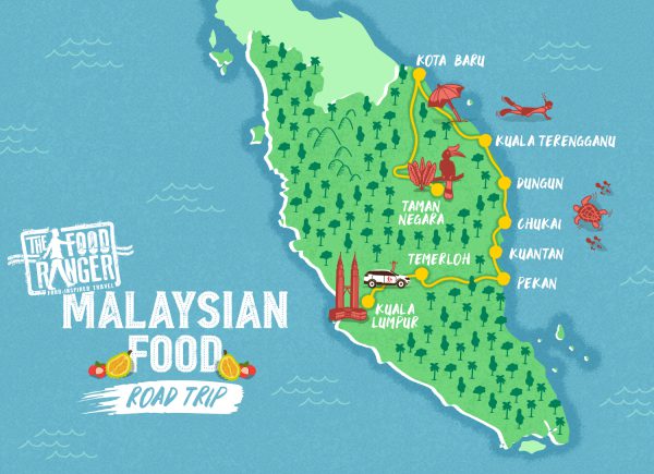
Illustrated itinerary
Site plan