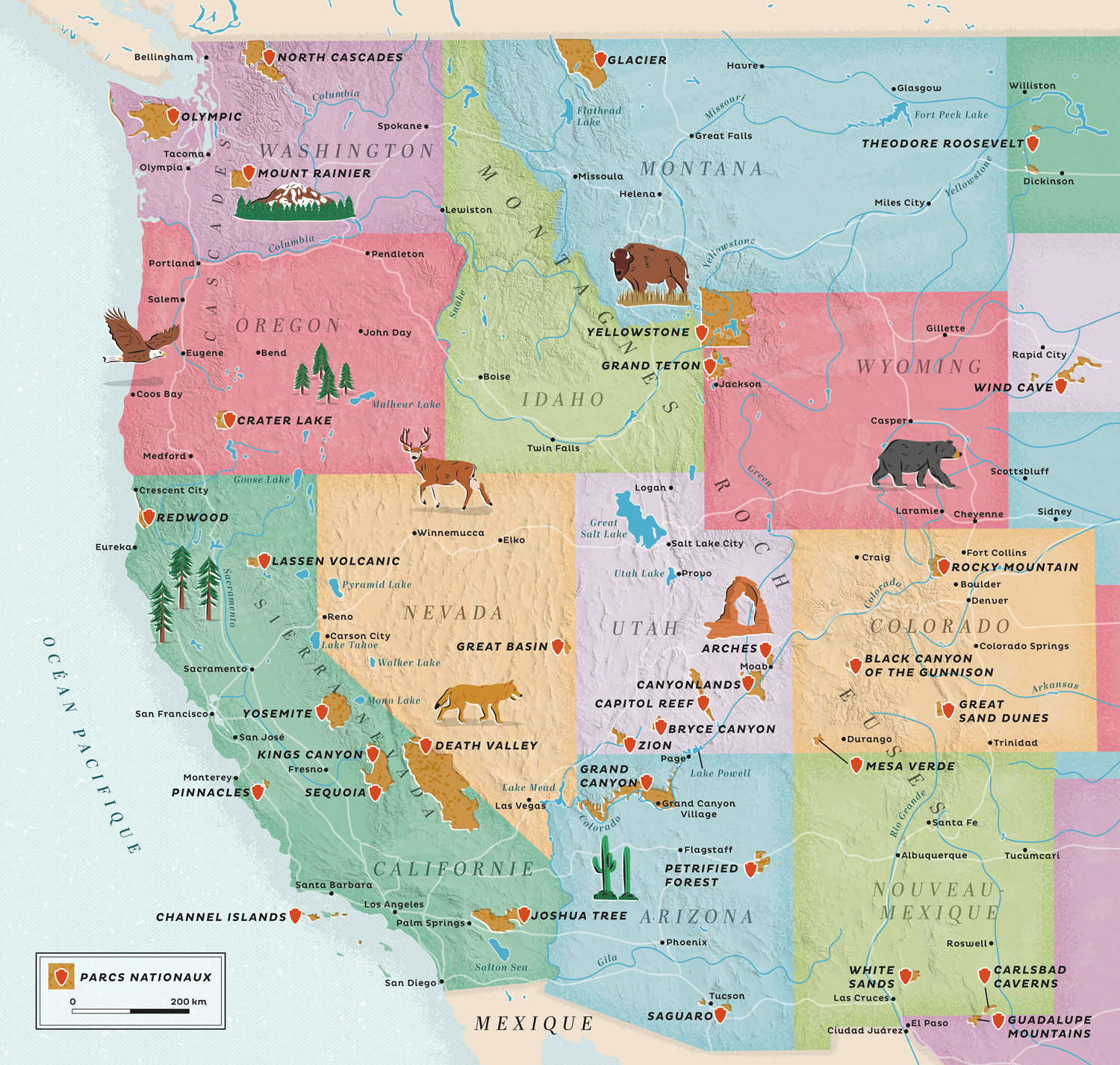
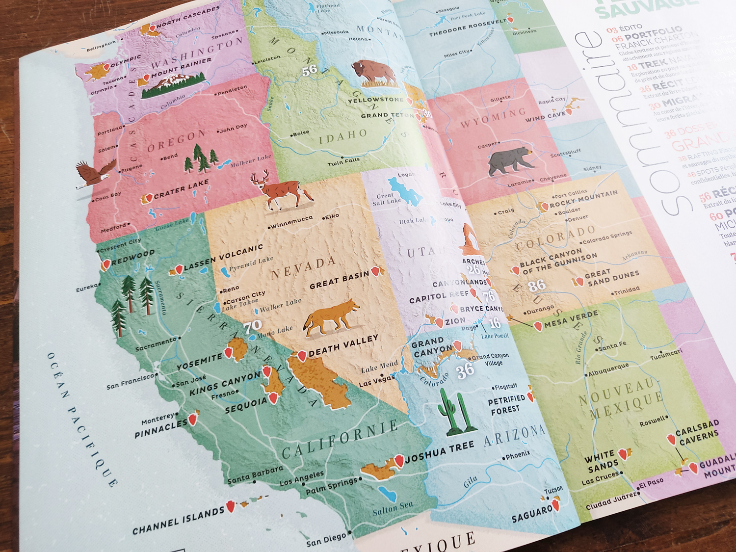
Western United States illustrated map for Terre Sauvage magazine
Editorial map for a French nature and wildlife magazine
Terre Sauvage, a French magazine dedicated to Nature and wildlife published since 1986, commissioned me to create this illustrated map for their special travel and adventure issue focused on the Western States of the US.
The map, a spread page which is used as the magazine's table of content, shows the location of the magazine's articles, the states borders, the location of the different National Parks, the main cities and waterways with illustrated wildlife (bald eagle, bison, black bear, coyote...), vegetation (saguaro cactus, redwood forest...) and iconic places (Mount Rainier, Arches...).
CreditsThese 100% vector map and its various illustrations were created by Greg Franco - Le Cartographiste with Adobe Illustrator and without the help of AI.
Map data from OpenStreetMap
Topographic data from NASA ESDIS