Illustrated map of Paris landmarks for an art exhibition at the Arkansas Museum of Fine Arts
Arts and Culture
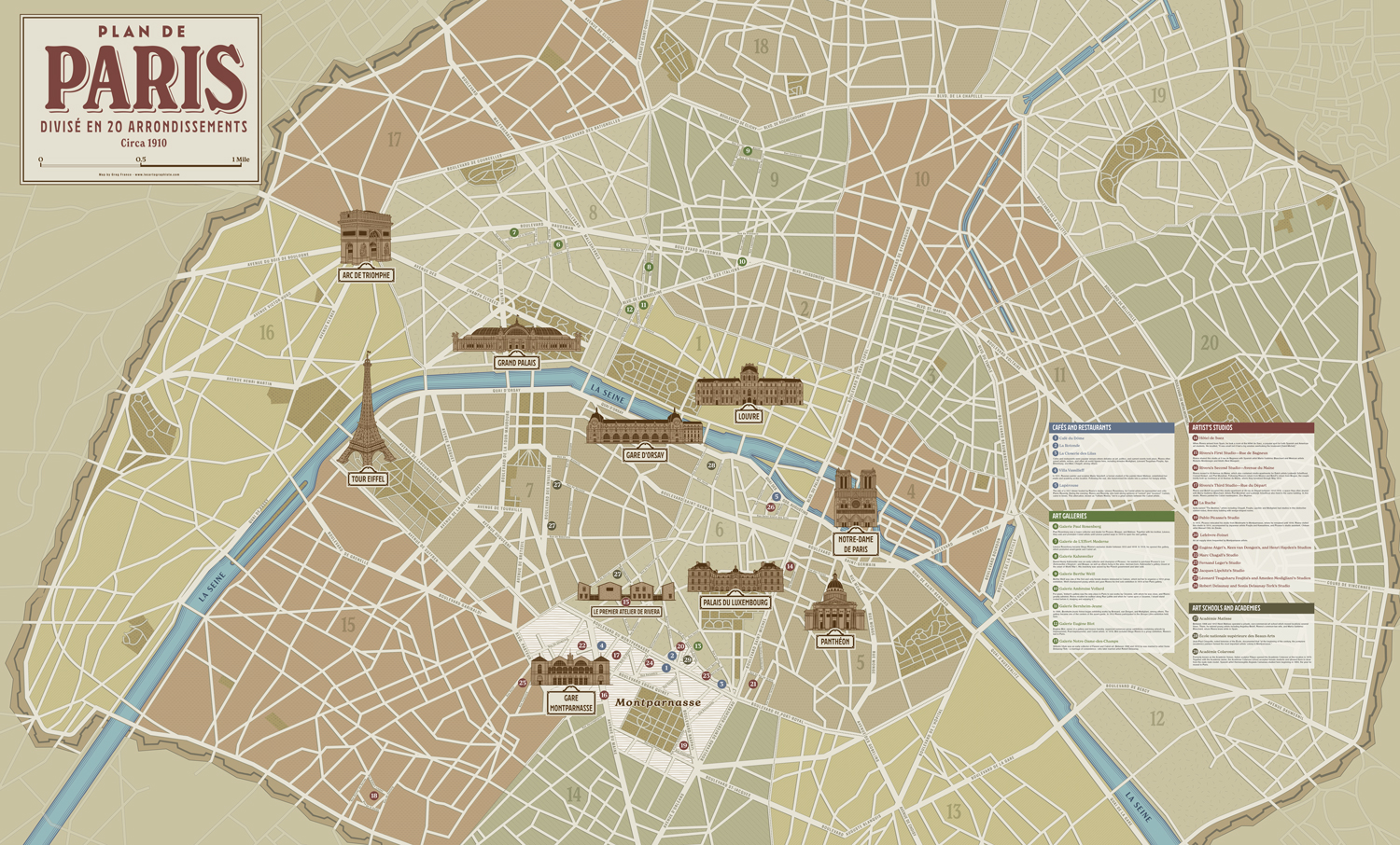
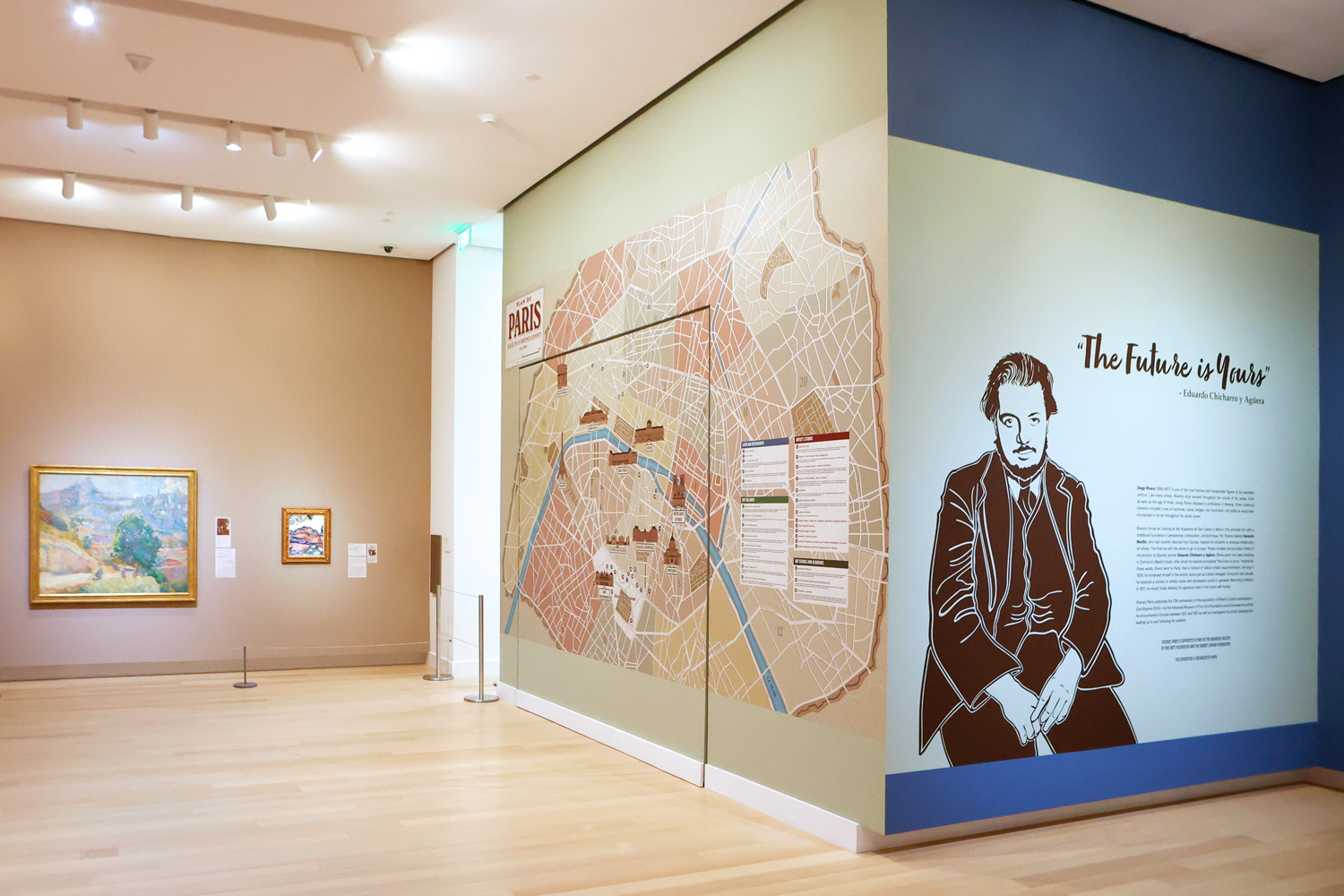
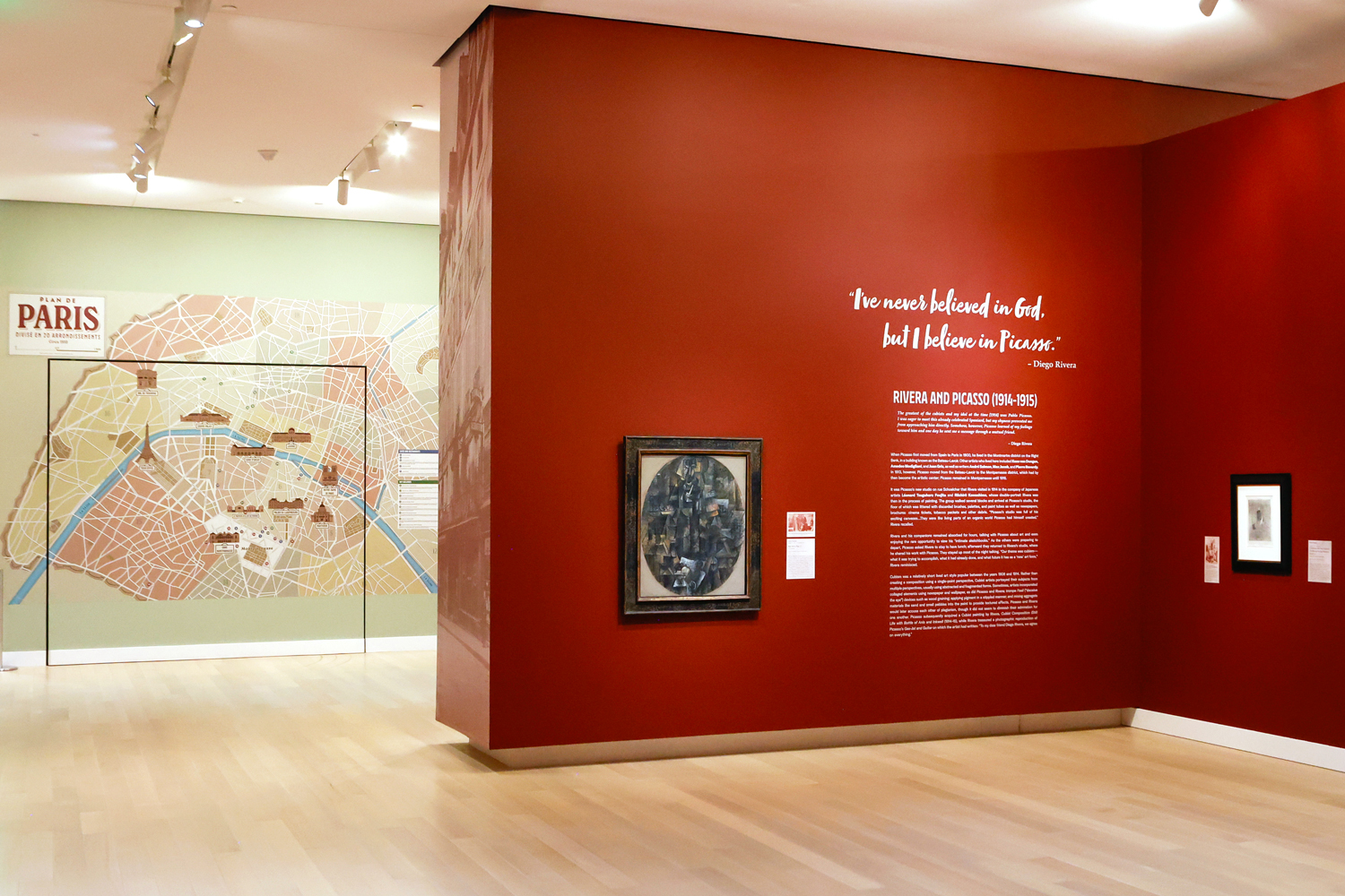
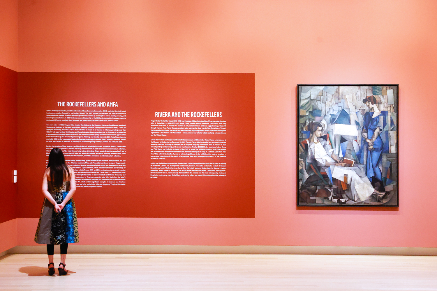
This illustrated map was created for the Rivera’s Paris exhibition at the Arkansas Museum of Fine Arts. The exhibition explores the formative years Diego Rivera (the famous Mexican artist) spent in Paris during the early 20th century, when he immersed himself in the vibrant artistic community that shaped his creative path.
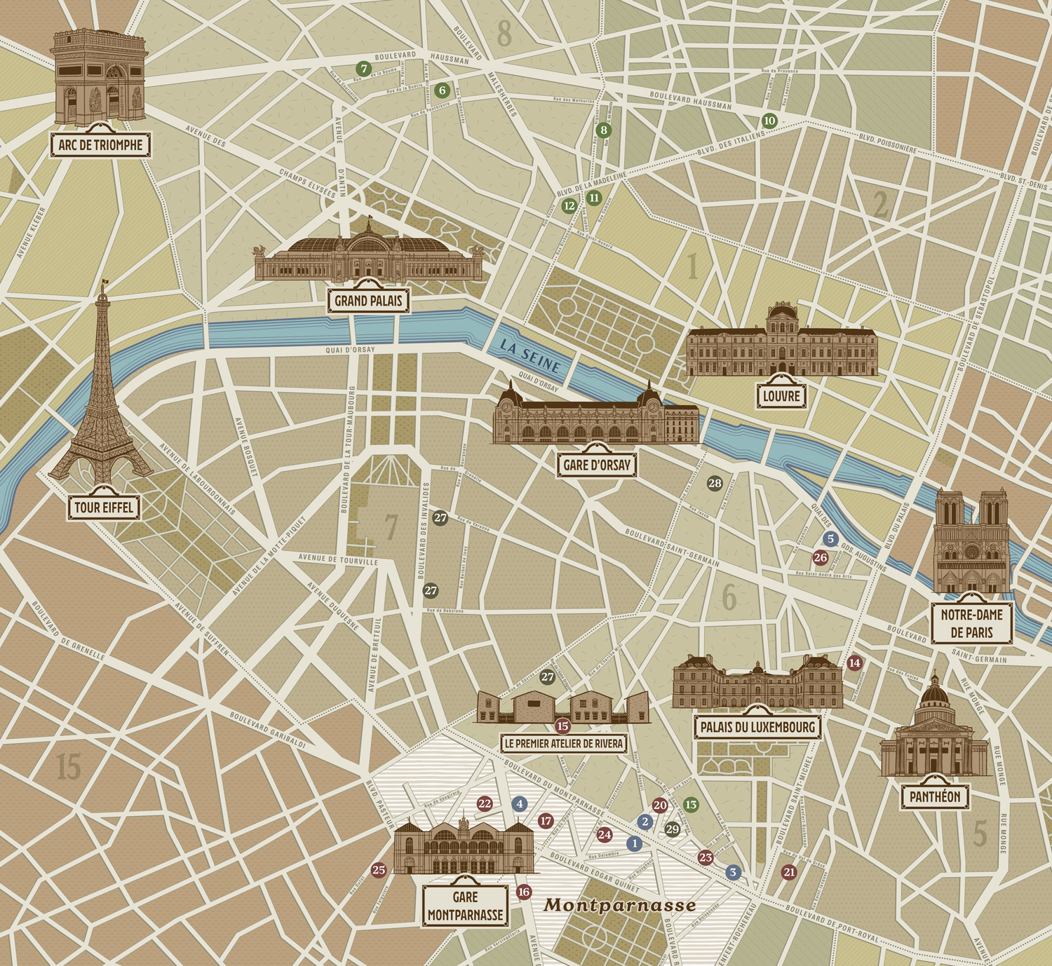
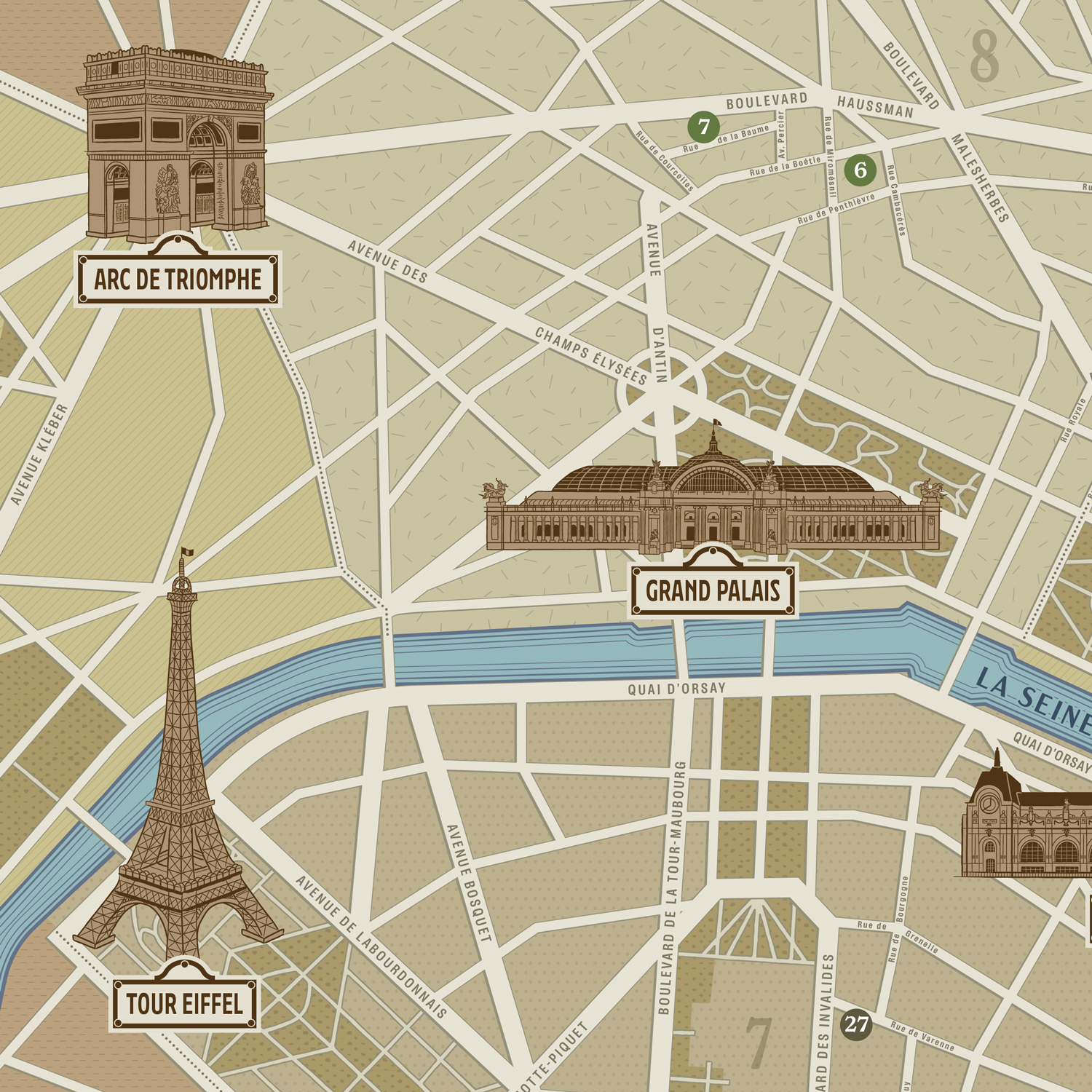
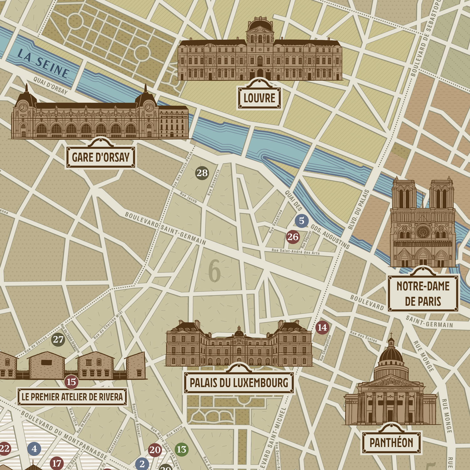
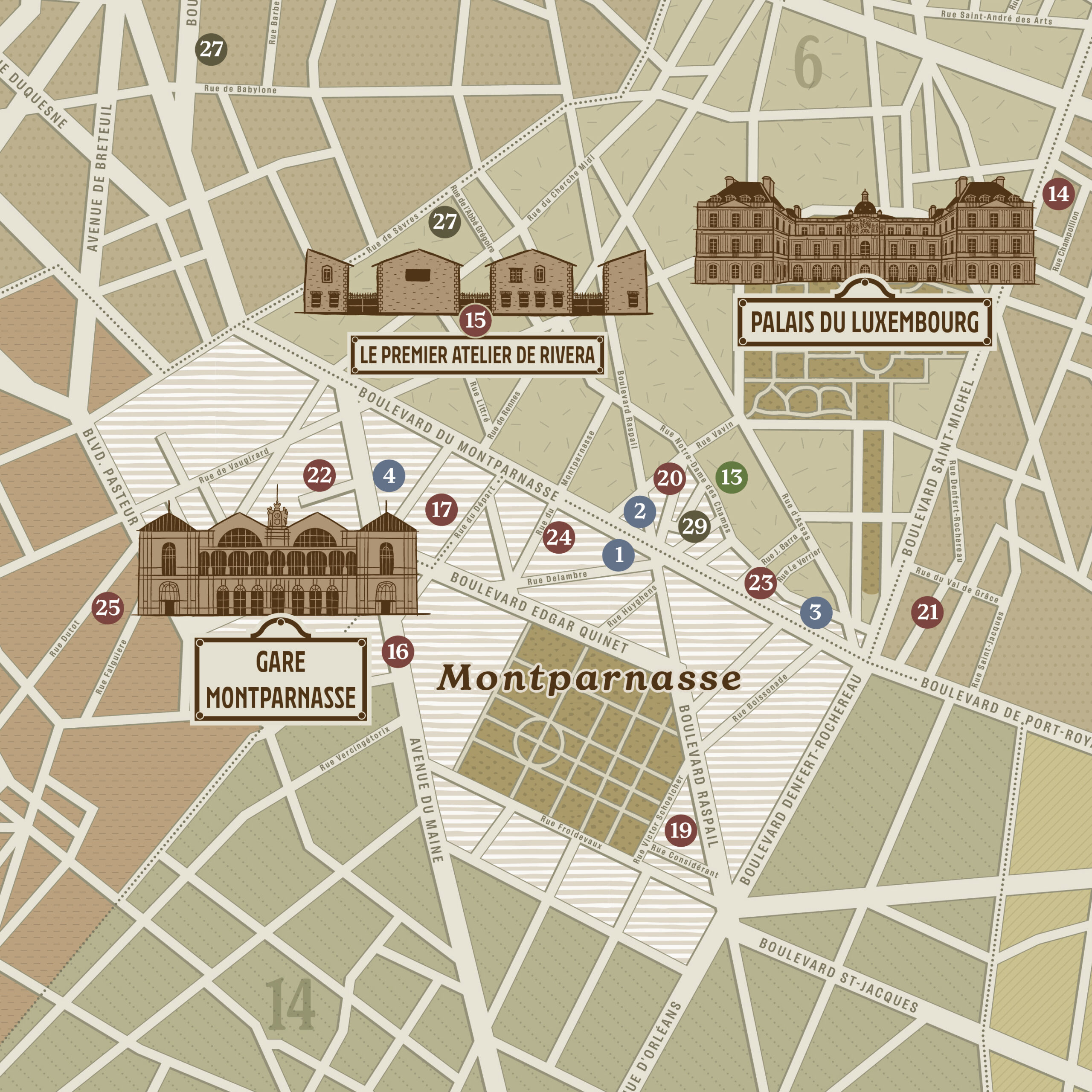
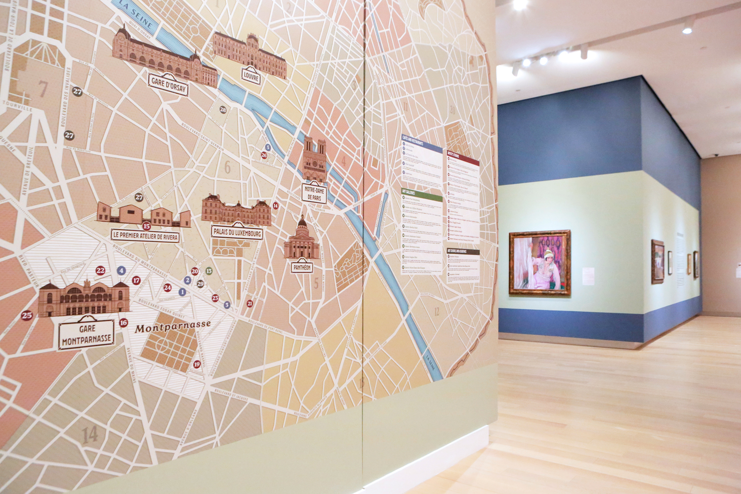
Inspired by early 1900s handheld city maps with a modern twist, the map highlights key locations relevant to Rivera’s artistic journey. It features 10 hand-drawn illustrations of iconic monuments, including the Arc de Triomphe, Eiffel Tower, Grand Palais, Gare d’Orsay, and Rivera’s first studio.
Designed to help exhibition visitors visualize where Rivera and his fellow artists lived, worked, and gathered, the map provides valuable historical context. It represents Paris as it was in 1910 and pinpoints 29 numbered points of interest across four categories: Cafés and Restaurants, Art Galleries, Artists' Studios, and Art Schools and Academies. These points are color-coded and organized with a clear key/legend on the right of the map.
The city’s 20 arrondissements are mapped out, with key streets and thoroughfares labeled, particularly around points of interest.
What makes this map truly unique is its impressive size: measuring 17 feet 8 inches wide (5.38 meters) by 10 feet 8 inches tall (3.25 meters), it creates a visually striking representation of Rivera’s Paris, inviting viewers to explore the vibrant cultural landscape of the early 20th century.
CreditsThis 100% vector map was created by Greg Franco - Le Cartographiste with Adobe Illustrator and without the help of AI.
Adobe Illustrator brushes from RetroSupply Co.
Exhibition Designer: Keith Melton
Exhibition organized by the Arkansas Museum of Fine Arts.