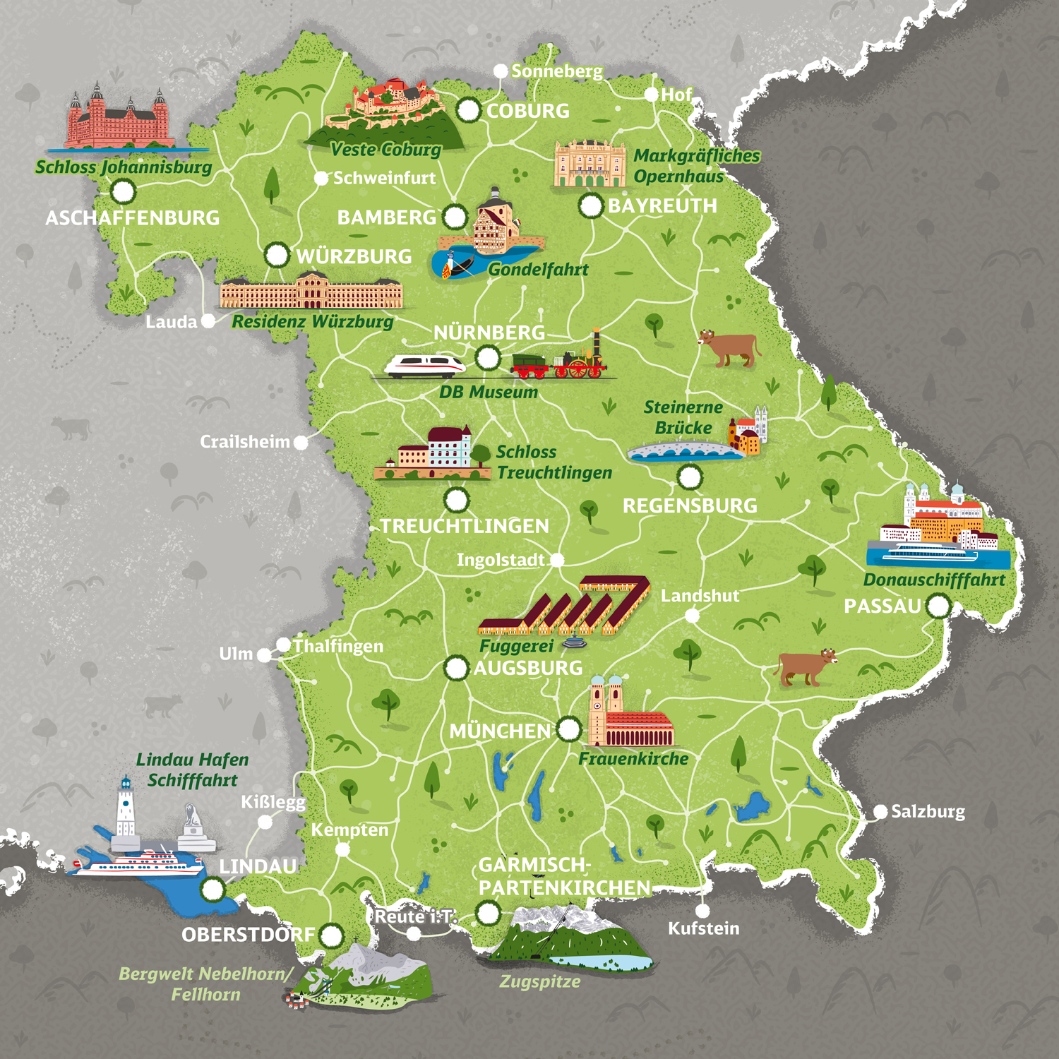
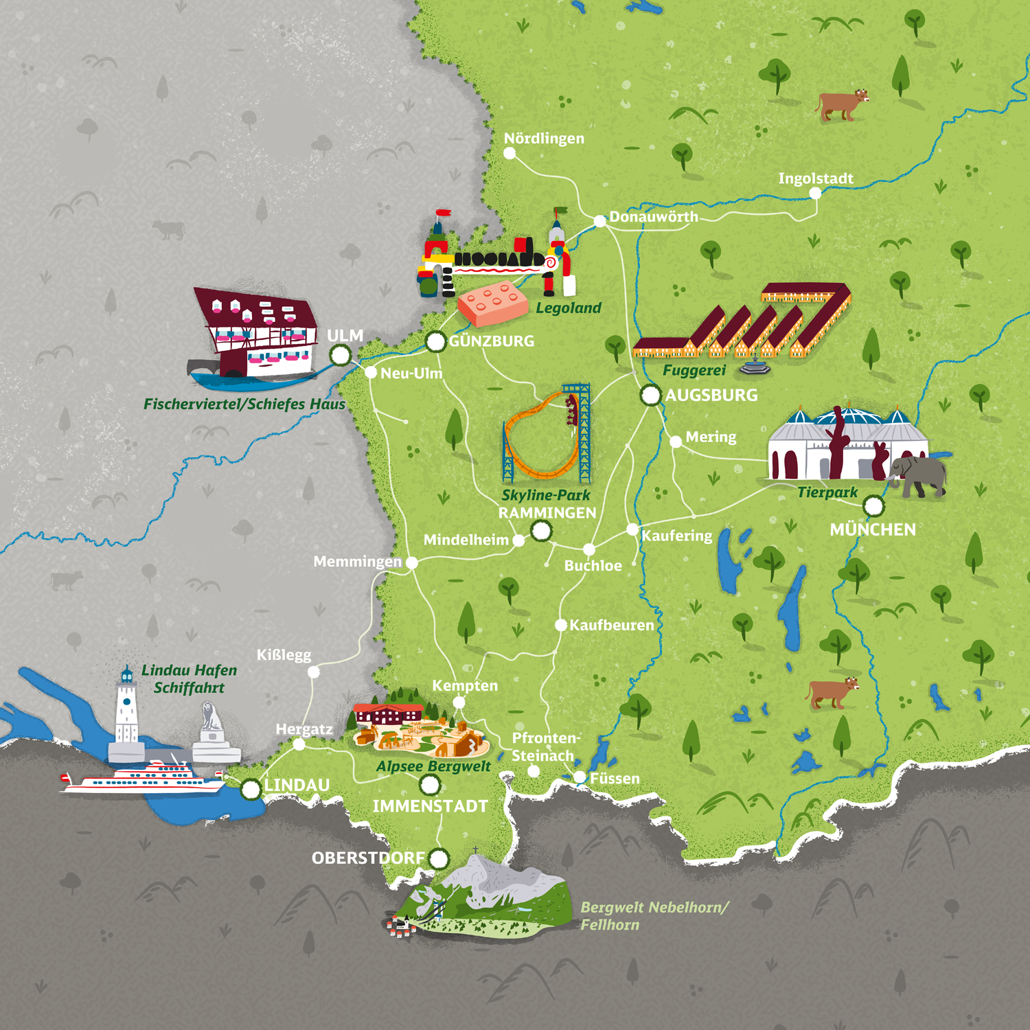
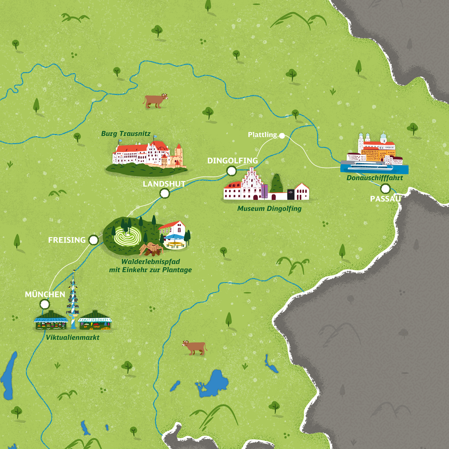
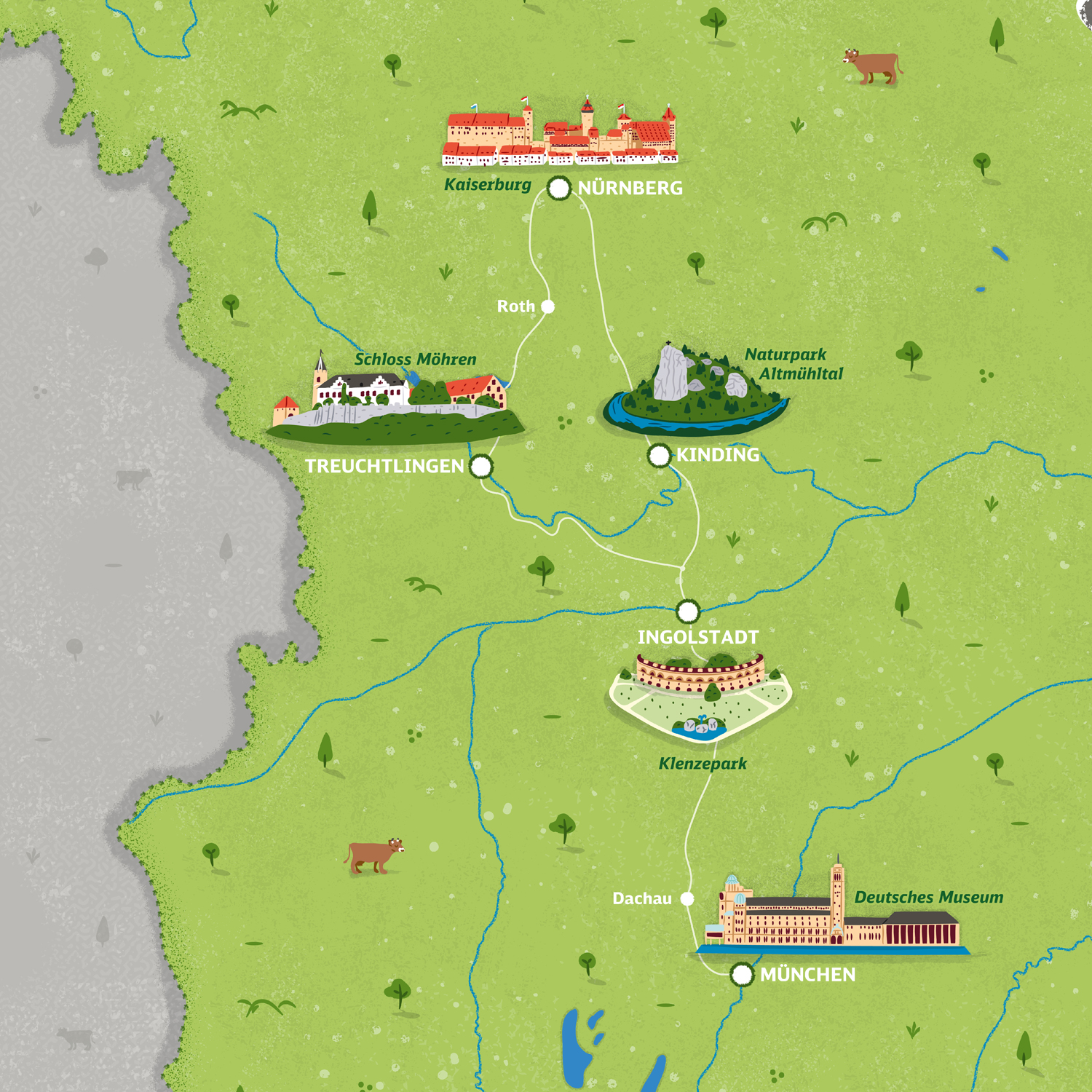
This set of 7 illustrated maps was created for Deutsche Bahn Regio Bayern to promote a range of day tickets that allow unlimited travel on local trains and public transport across Bavaria.
Each map covers a different area of Bavaria: Munich, Nuremberg, the Danube, Upper Bavaria, the Allgäu, the Main-Spessart and Franken-Thüringen. A total of 50 famous landmarks illustrations were created for the different cities served by the trains to bring each area to life.
The main challenge was to design maps adaptable to multiple formats for print, online and advertising use, while accurately representing the rail network and respecting the geographic scale of each area.
CreditsThese 100% vector maps were created by Greg Franco - Le Cartographiste with Adobe Illustrator and without the help of AI.
Adobe Illustrator brushes from RetroSupply Co.