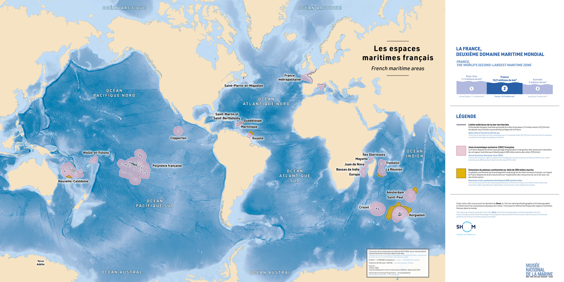
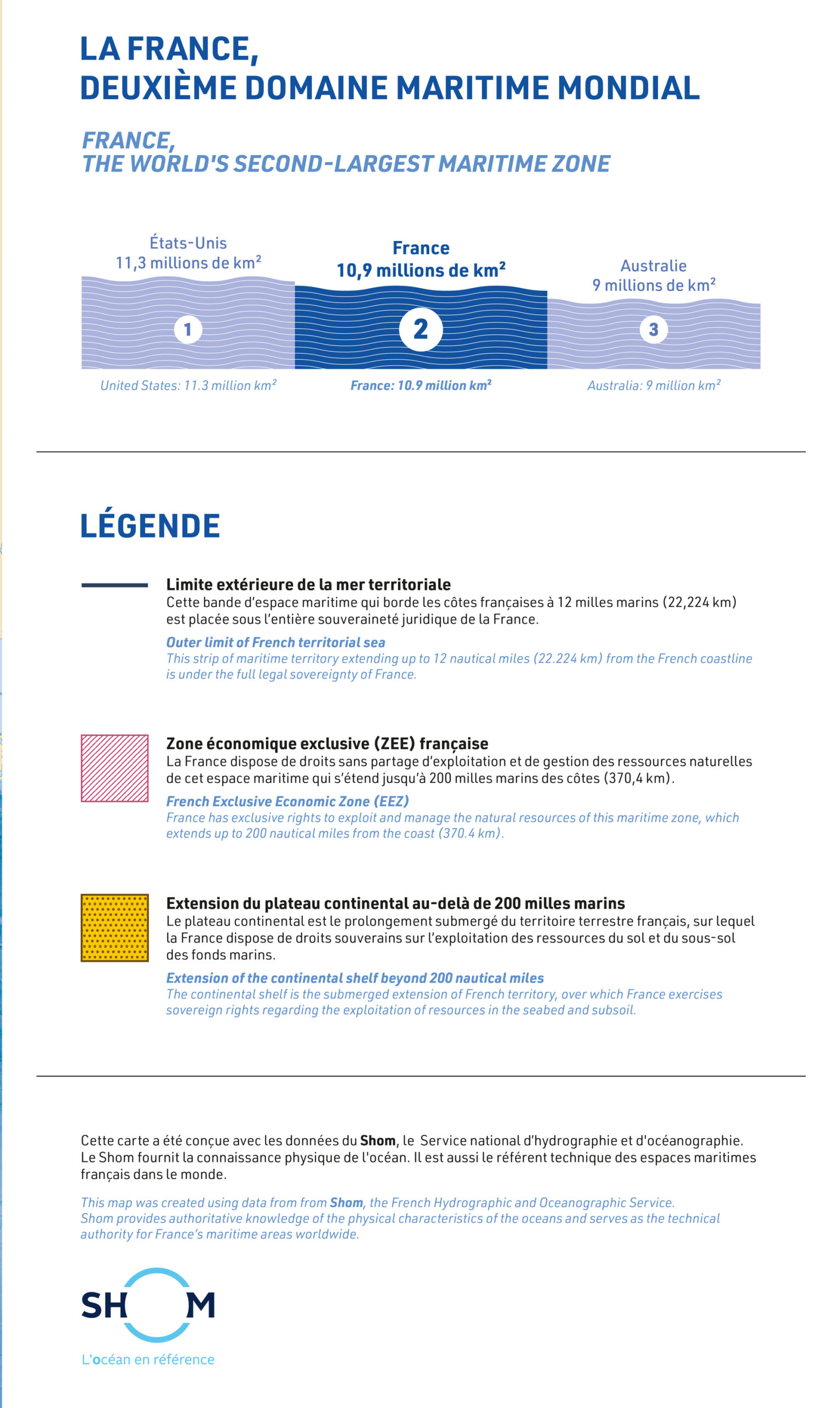


The Musée national de la Marine, France's national maritime museum, commissioned this large-format map to introduce visitors to the extent of France's maritime areas around the world.
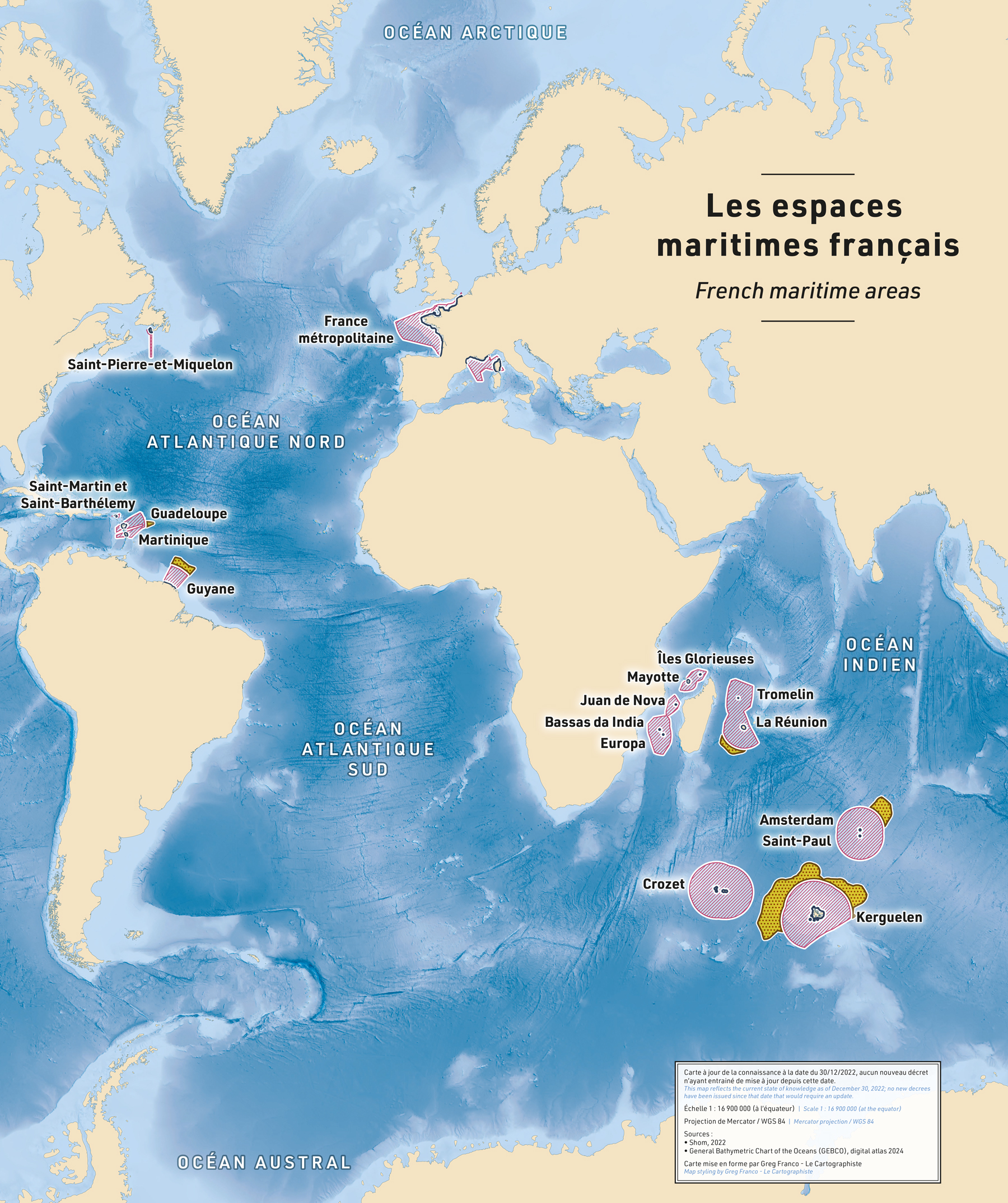
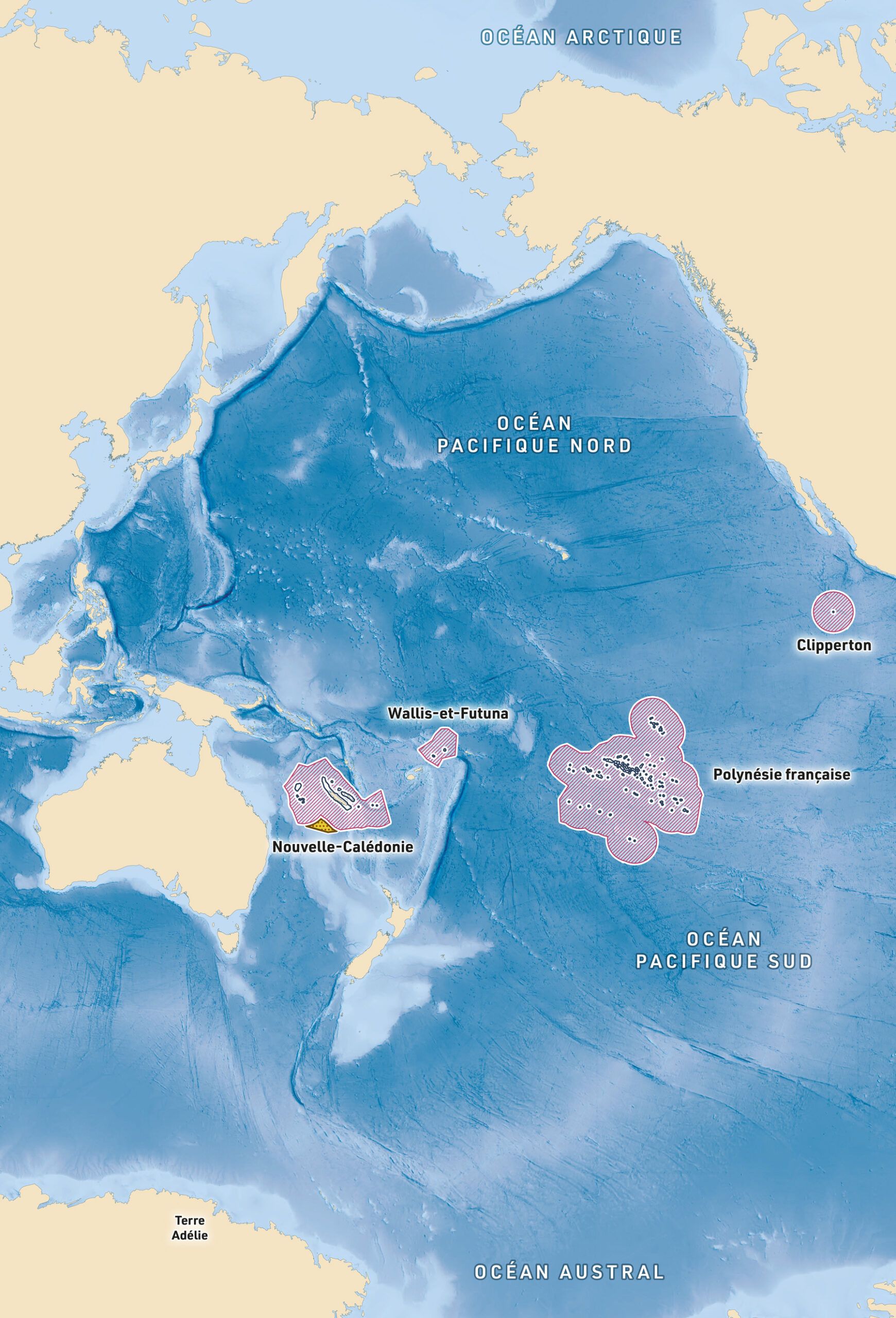
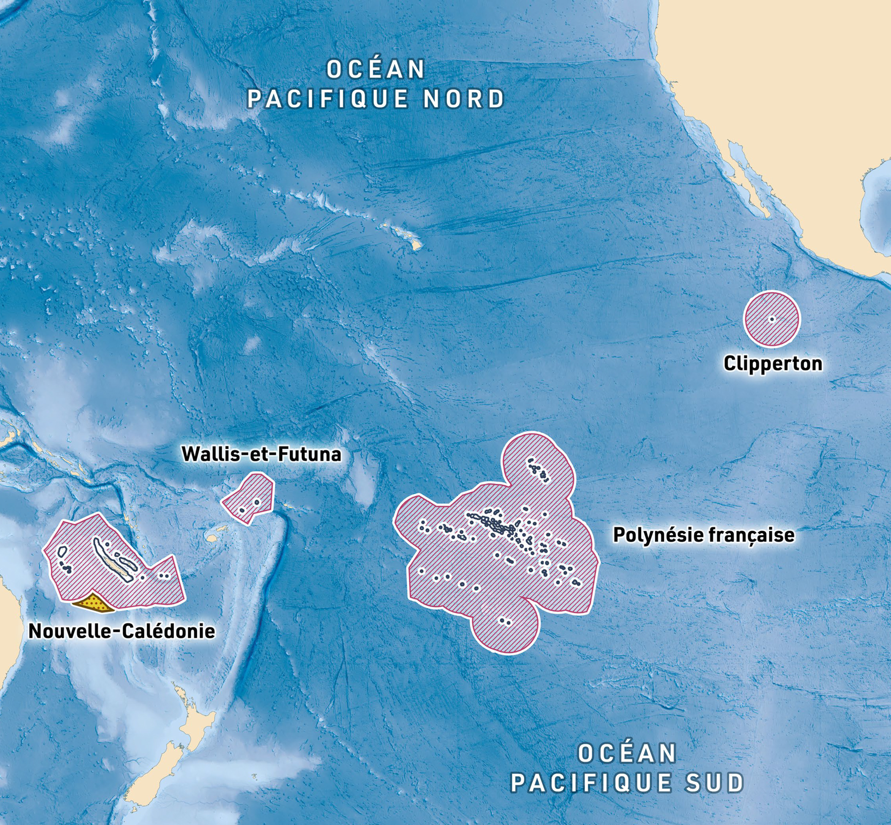
Installed at the entrance of the museum as a 3-metre-wide mural, the map highlights the scale of France's maritime domain, which extends across the Atlantic, Indian and Pacific Oceans. It shows the outer limit of the French territorial sea, the Exclusive Economic Zone (EEZ) and the extension of the continental shelf beyond 200 nautical miles.
Created in collaboration with Shom, France's Hydrographic and Oceanographic Service, the map was designed to place the oceans at the centre of the composition. While land areas are intentionally represented using neutral nautical chart conventions, particular attention was given to the representation of the seafloor. Using bathymetric data from GEBCO, underwater terrain, ocean basins and mid-ocean ridges were rendered in detail to reveal the geography hidden beneath the surface.
Accessibility was a key consideration throughout the design process. Colours, textures and contrast levels were carefully selected to help visitors with visual impairments distinguish the different maritime areas and maintain clear readability of the information displayed.
The map is accompanied by an educational panel presenting France's position among the world's largest maritime domains, alongside the United States and Australia, as well as a map legend and an introduction to Shom and its role in the management and understanding of France's maritime spaces.
