Editorial Topographic Maps for Terre Sauvage Magazine
Redesigning a long-running editorial cartography project to match a new visual identity.
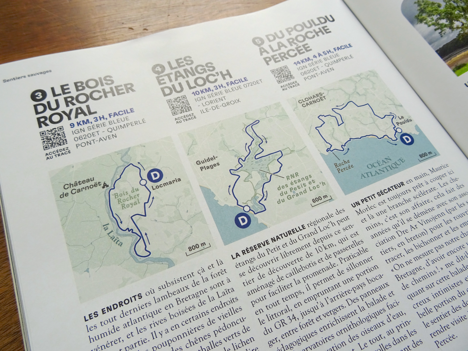
Since 2021, I have been collaborating with Terre Sauvage magazine to create the maps featured in its "Sentiers Sauvages" section. Published in every issue, the series includes one large map and three smaller route maps illustrating hiking destinations across France.
In June 2026, Terre Sauvage introduced a complete magazine redesign. As part of this new visual identity, the cartographic style also evolved to better integrate with the publication's updated layout and editorial direction.
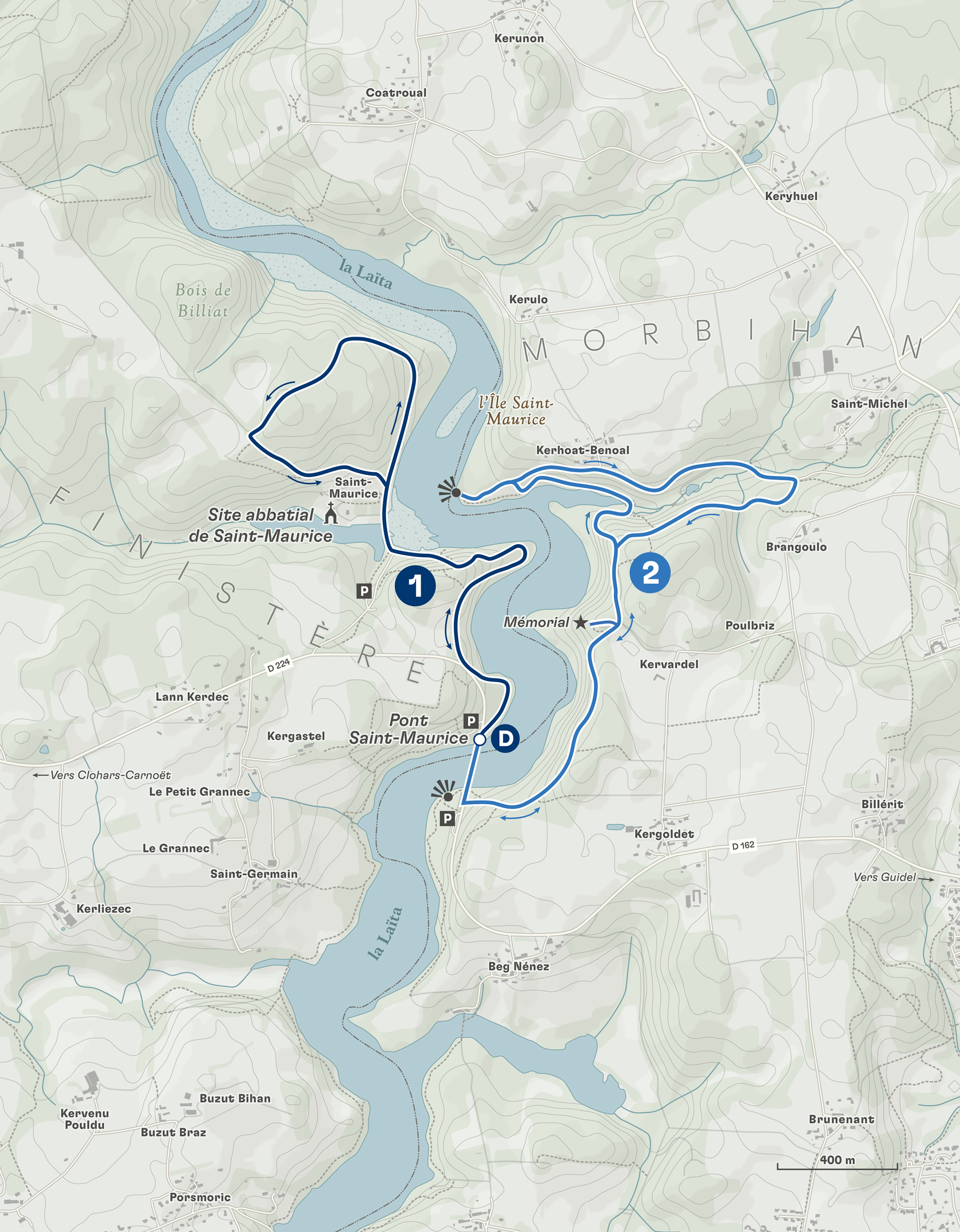
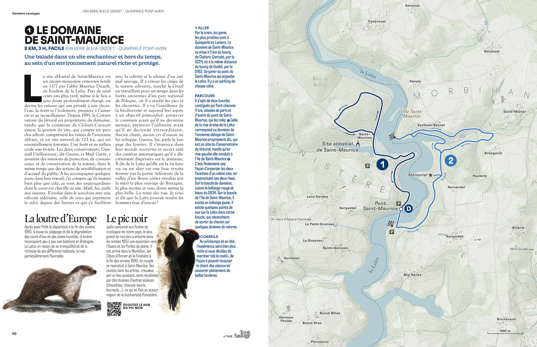
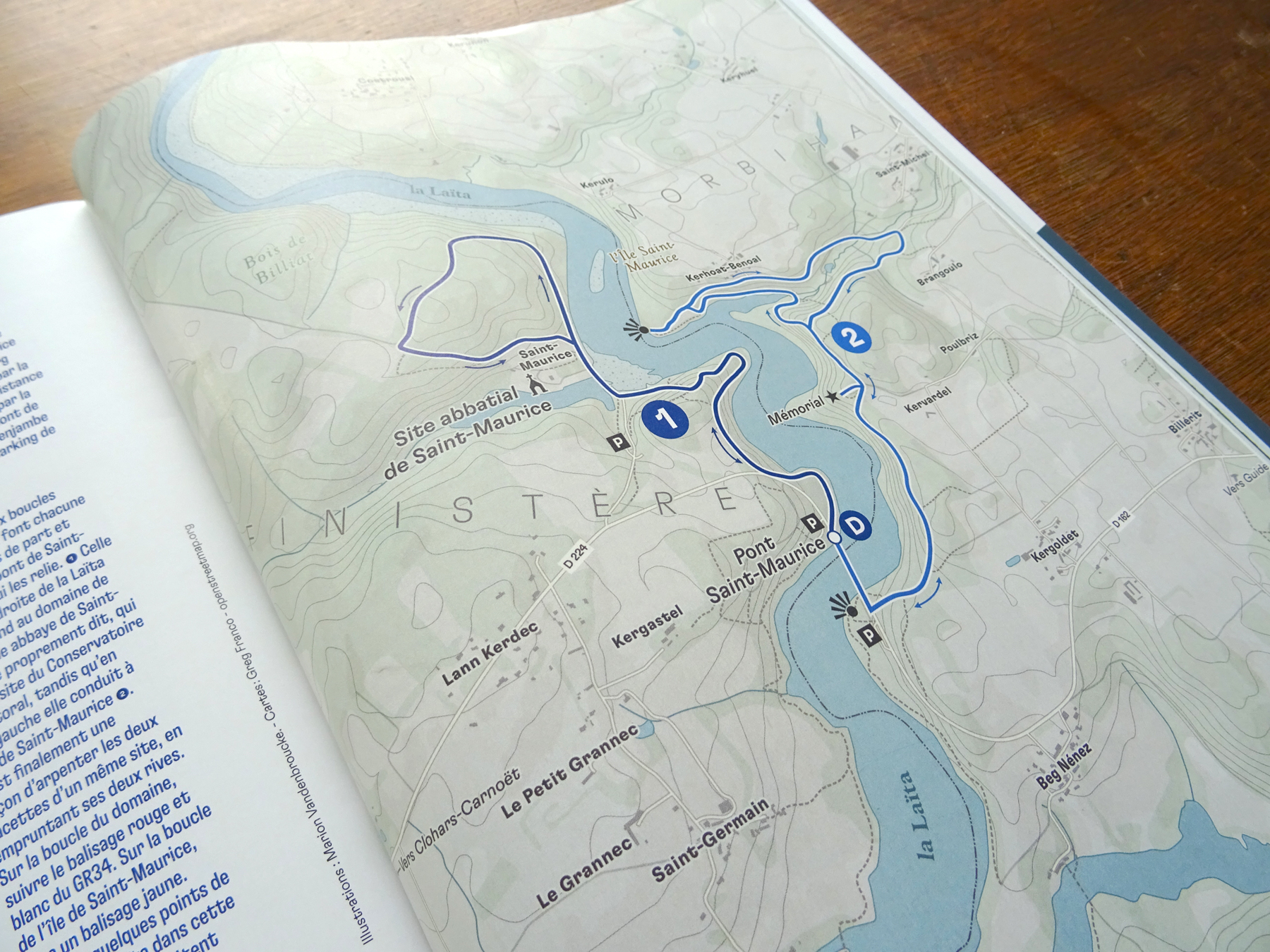
For the large full-page maps, I developed a more topographic approach by introducing contour lines, a refined colour palette and redesigned iconography. The objective was to create maps that felt more subtle and immersive while maintaining a clear reading experience for hikers.
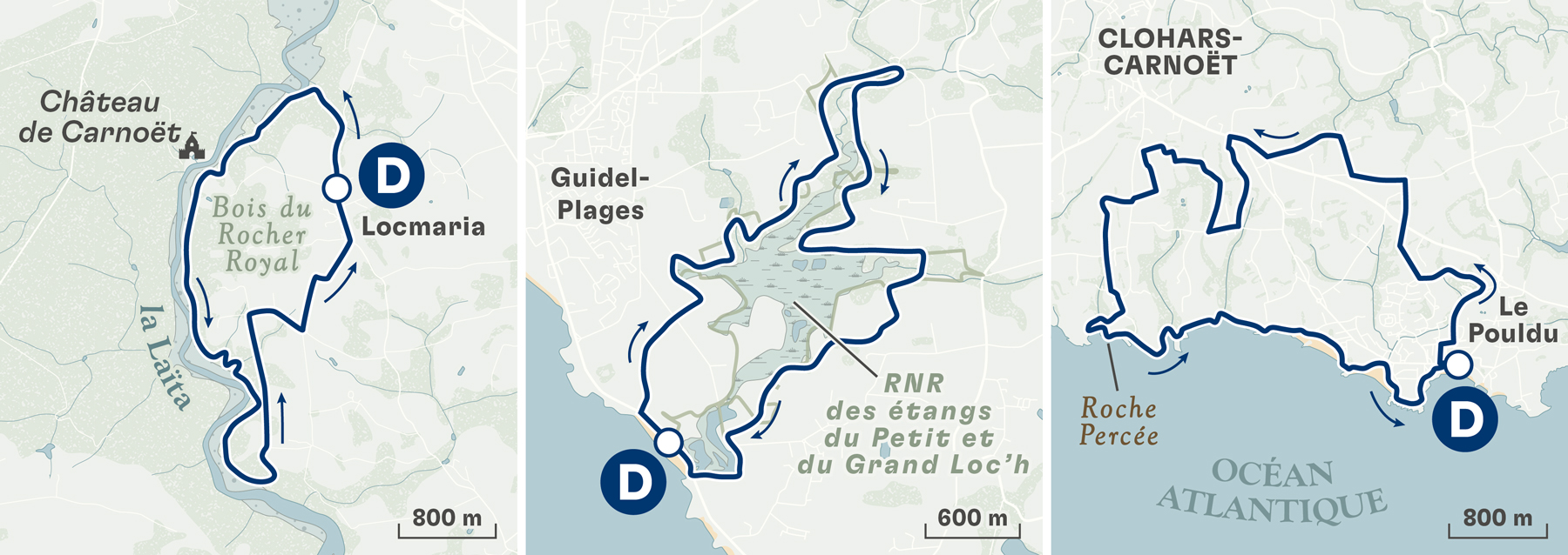
The smaller maps were completely simplified. By highlighting the hiking route and removing hillshades and other secondary visual elements, the maps became cleaner, lighter and easier to read within the magazine's new layout.
This redesign marks the evolution of a cartographic system that has accompanied the magazine for nearly five years, adapting an established visual language to a new editorial era while preserving the clarity and sense of place that define the series. You can see the previous maps here.
CreditsThese 100% vector maps were created by Greg Franco - Le Cartographiste with Adobe Illustrator and without the help of AI.
Map data from OpenStreetMap
Topographic data from NASA ESDIS