Author: Le Cartographiste

Rates, timeline and process: what to expect when working with a map illustrator.

Picture of the magazine spread page featuring the illustrated map of the Western United States

When new clients reach out to me to discuss a map project, their first email usually follows the same pattern: a short description of the project, followed by the two big questions: how long will it take, and how much will it cost?

I believe our role as illustrators is not just about creating beautiful visuals, but also about being transparent and sharing knowledge. Clear communication builds trust, makes collaborations smoother, and help develop stronger long-term relationships with clients and peers.

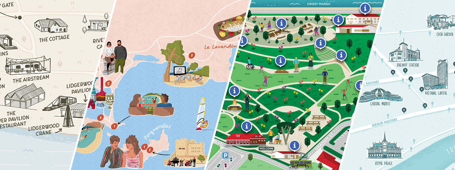
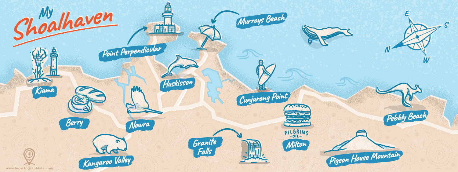
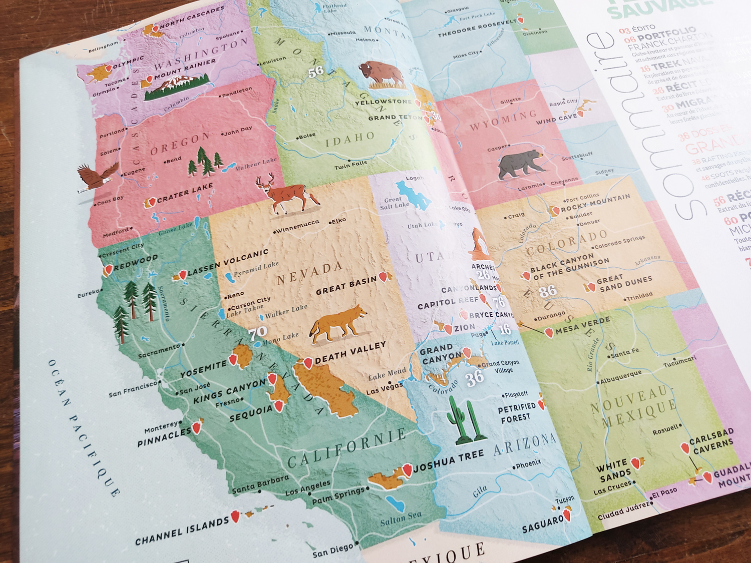
That’s why I’ve put together this breakdown. It explains what’s involved in creating a practical or illustrated map. Here, you’ll find everything from workflow and tools, to timelines, deliverables, rates, and usage rights. My goal is to give you a realistic idea of what to expect if you ever consider working with a map illustrator like me.

What is an illustrated map? Understanding the differences between illustrated and practical maps

Header for the article What is an illustrated map showing a split image made of 4 different illustrated map examples

Over the years as a freelance map illustrator and designer, I have had the pleasure of working on many illustrated and practical maps. I’ve worked for clients from various industries, and I often encounter people who are confused about the difference between illustrated and practical maps. That’s why I wanted to discuss what these different types of maps are, how they differ, and share why both can be incredibly useful in their own ways! If you’re curious to see how both approach apply to the tourism industry (maps made for cities, regions, or visitor guides), I share tourism-focused projects over at illustratedtouristmaps.com.

How to make an illustrated map step-by-step

Points of interest in the Shoalhaven area


A few years ago I decided to take part in the “Mapping Special Places” contest curated by They Draw and Travel and Stroly. I thought it would be interesting to share a step-by-step guide of how I created this illustrated map with you. In this post I’ll take you through my creative process and how it all came together. Many of the illustrated maps I create for tourism boards and destinations follow this same process (you can see examples at illustratedtouristmaps.com) so I hope that you can learn from this concrete example and design your own map.