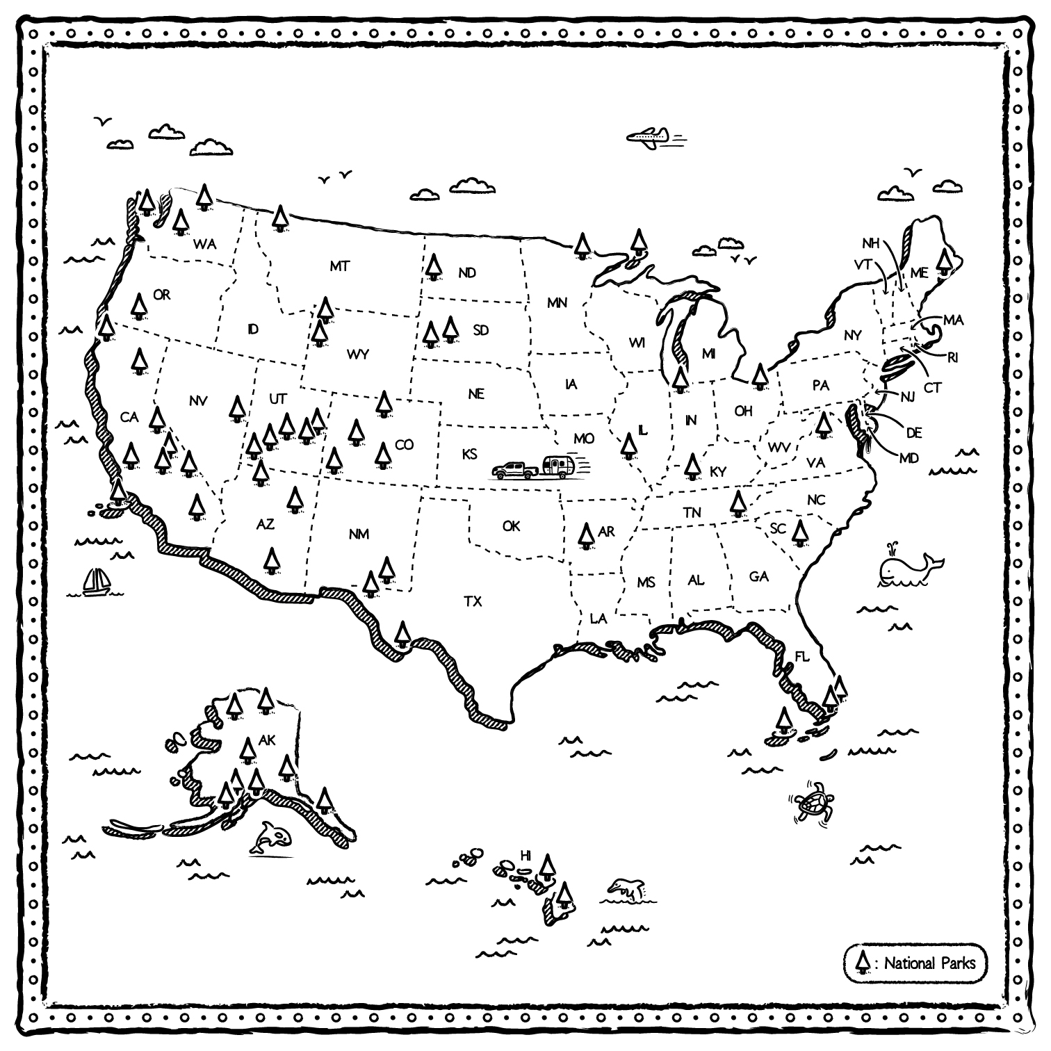
US NATIONAL PARKS ILLUSTRATED MAP
A few months ago I was approached by Headbands of Hope to create a map of the US National Parks that would be printed on a bandana produced in collaboration with Airstream. You can imagine how excited I was! Especially as Headbands of Hope donates a free headband to a child with an illness for every item they sell which I think is a great idea.
The illustrations features almost all of the US National Parks as well as an Airstream being pulled by a truck (by the way, the founder of Headbands of Hope is touring the US, living in her Airstream, to give speeches and conferences!) and some small other illustrations around. If you're wondering why the map is black and white, the bandana comes with Sharpies so that it can be colored, just as a coloring book. Map location: US National ParksType of map : Situation MapIndustry/Type of client : Fashion brand
Ressources: Illustrator brushes by RetroSupply Co
Go Baaa Handwritten Comic font by David den Ouden


