

Illustrated map of Presidio Tunnel Tops
Government and Municipal
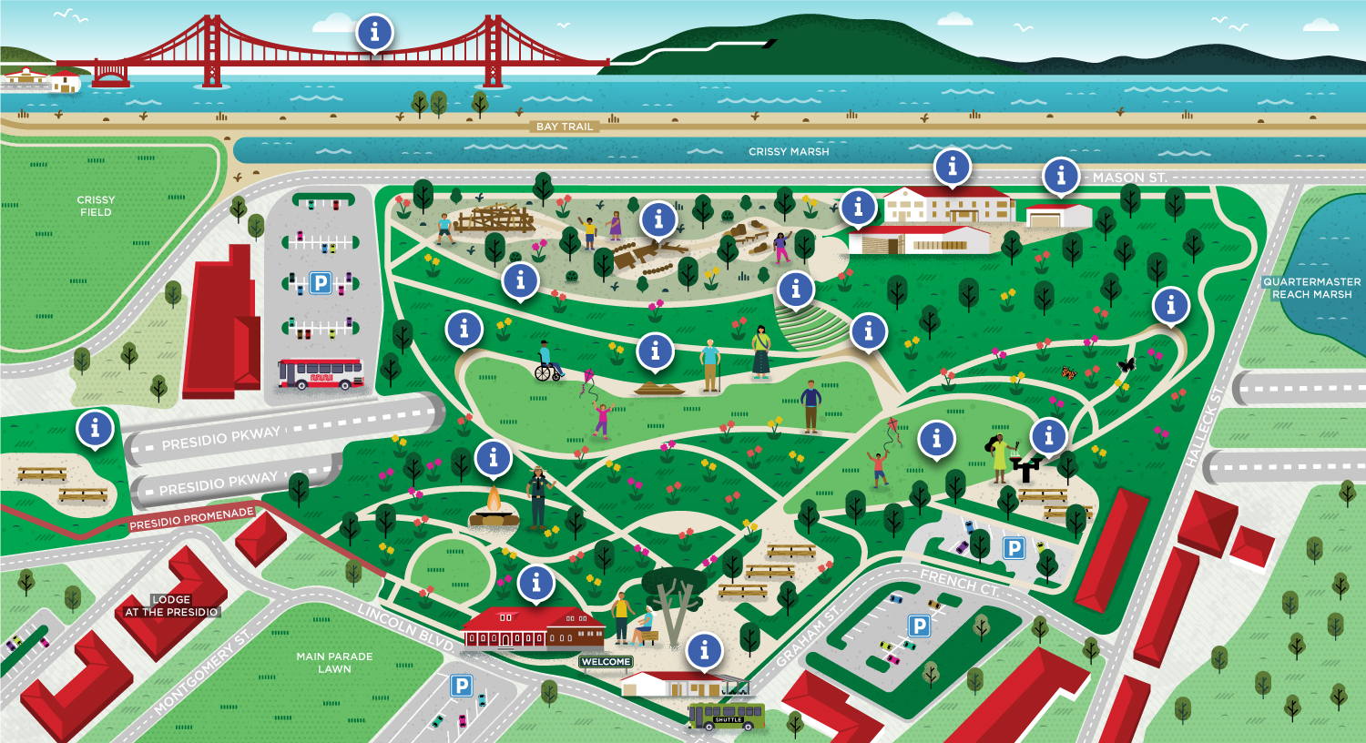
This is a fun vector illustrated site map of the Presidio Tunnel Tops, a new area within the Presidio National Park site in San Francisco, built on top of the Presidio Parkway Tunnels with amazing Golden Gate views.
This map was used as an interactive map on the park's introduction website to help users discover the different areas of the park. It shows the parks vegetation, a diversity of characters enjoying the park, buildings within the parks as well as surroundings landmarks and locations.
- LocationPresidio, San Francisco, California, USA
- ClientMiles Partnership and The Presidio
- CreditsThis 100% vector map was created by Greg Franco - Le Cartographiste with Adobe Illustrator and without the help of AI.
