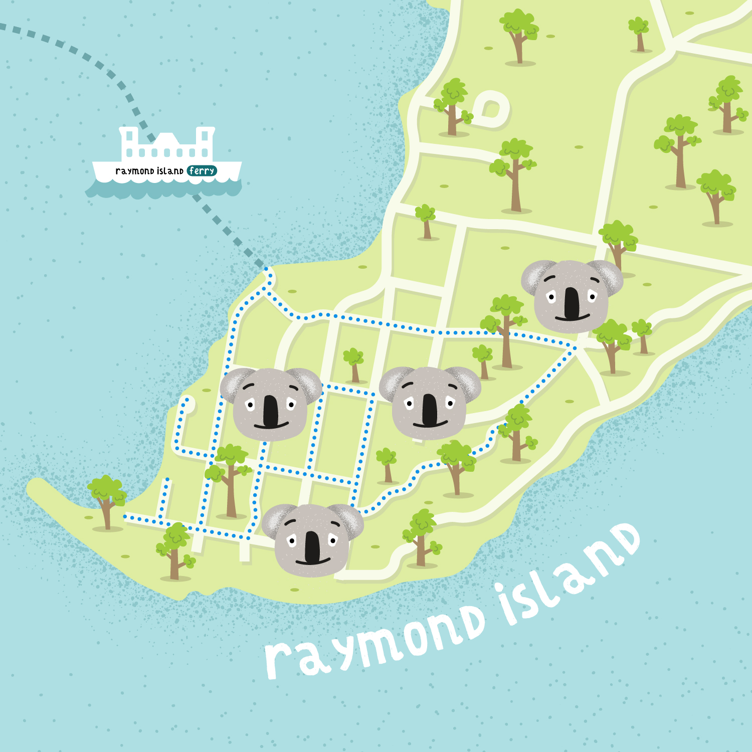
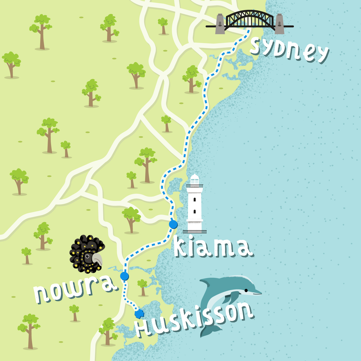
CHILDREN BOOK ILLUSTRATED MAPS

Here are different illustrated maps created as parts of my #WHEREIWAS project. These are maps of Australia, Nicaragua and Colombia playing with a fun "children book" style illustrations, creating icons to illustrate transportation, wildlife or points of interest.

#whereiwas is a challenge I set to myself at the beginning of 2019. The idea was to create in less than 2 hours 1 map every day of places I visited that exact same day in the past. The goal is to explore different visual styles, develop new skills and improve my creative process. This is a selection of this ongoing project and you can see where it's currently at by following me on instagram: @le.cartographiste
Map location: New South Wales, Australia - Nicaragua - ColombiaType of map : Editorial, ItineraryIndustry/Type of client : Personal project, Travel<< BACK TO PORTFOLIO
Raymond Island illustrated map
New South Wales illustrated map
Ometepe to San Juand del Sur illustrated map
Valle del Cocora children book map